
File:Baro river Gambela.jpg

此为最大尺寸。
Baro_river_Gambela.jpg (500 × 500像素,文件大小:61 KB,MIME类型:image/jpeg)
摘要
| 描述 |
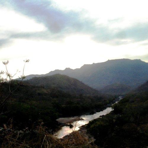
Baro River in Gambella region, Ethiopia. Original description by uploader: "taking pictures of bridges is strictly forbidden" [][?] Baro River flows to Sudan (cf. this picture). It is also the heart of the Gambella region and Gambella city. People use to go to the river to wash, refresh, chat or just take some time. People belong to many different groups: indigenous Nuer, Anuak, Majangir... or settled Highlanders (for the Abyssinian highlands regardless Amhara, Tigray or Oromo) or Sudanese refugees. The situation of demographic, ethnic and cultural diversity leads to situations of complexity. Inducing tensions, conflicts or violences. At least it is what is written in the books... So far, it looks like a paradise. |
| 日期 | |
| 来源 | [1] |
| 作者 | T U R K A I R O |
| 相机位置 | | 在以下服务上查看本图像和附近其他图像: OpenStreetMap |
|---|
许可协议
| 这幅图片原始出处为Flickr的https://www.flickr.com/photos/7838055@N05/2459587146 ,作者为T U R K A I R O 。经机器人FlickreviewR在2009年4月26日审查后确定为采用cc-by-2.0的协议授权使用。 |
文件历史
点击某个日期/时间查看对应时刻的文件。
| 日期/时间 | 缩略图 | 大小 | 用户 | 备注 | |
|---|---|---|---|---|---|
| 当前 | 2009年4月26日 (日) 12:16 | | 500 × 500(61 KB) | Béka~commonswiki | {{Information |Description=Baro River in Gambella region, Ethiopia. Original description by uploader: [http://loc.alize.us/#/flickr:2459587146 "taking pictures of bridges is strictly forbidden"] [][?] [http://bighugelabs.com/flickr/onblack.php?id=245958 |
文件用途
全域文件用途
以下其他wiki使用此文件:
- af.wikipedia.org上的用途
- ar.wikipedia.org上的用途
- arz.wikipedia.org上的用途
- br.wikipedia.org上的用途
- ca.wikipedia.org上的用途
- ceb.wikipedia.org上的用途
- cs.wikipedia.org上的用途
- da.wikipedia.org上的用途
- de.wikipedia.org上的用途
- de.wikivoyage.org上的用途
- el.wikipedia.org上的用途
- en.wikipedia.org上的用途
- en.wikivoyage.org上的用途
- eo.wikipedia.org上的用途
- es.wikipedia.org上的用途
- fa.wikipedia.org上的用途
- fi.wikipedia.org上的用途
- fr.wikipedia.org上的用途
- fr.wikivoyage.org上的用途
- gl.wikipedia.org上的用途
- ha.wikipedia.org上的用途
- he.wikipedia.org上的用途
- hi.wikipedia.org上的用途
- hr.wikipedia.org上的用途
- ig.wikipedia.org上的用途
- it.wikipedia.org上的用途
- it.wikivoyage.org上的用途
- ja.wikipedia.org上的用途
- ka.wikipedia.org上的用途
- ko.wikipedia.org上的用途
- mt.wikipedia.org上的用途
查看本文件的更多全域用途。