
File:Bavarian Circle-2005-10-15-en.png
本预览的尺寸:610 × 599像素。 其他分辨率:244 × 240像素 | 489 × 480像素 | 727 × 714像素。
原始文件 (727 × 714像素,文件大小:67 KB,MIME类型:image/png)
This image was copied from wikipedia:fr. The original description was:
摘要
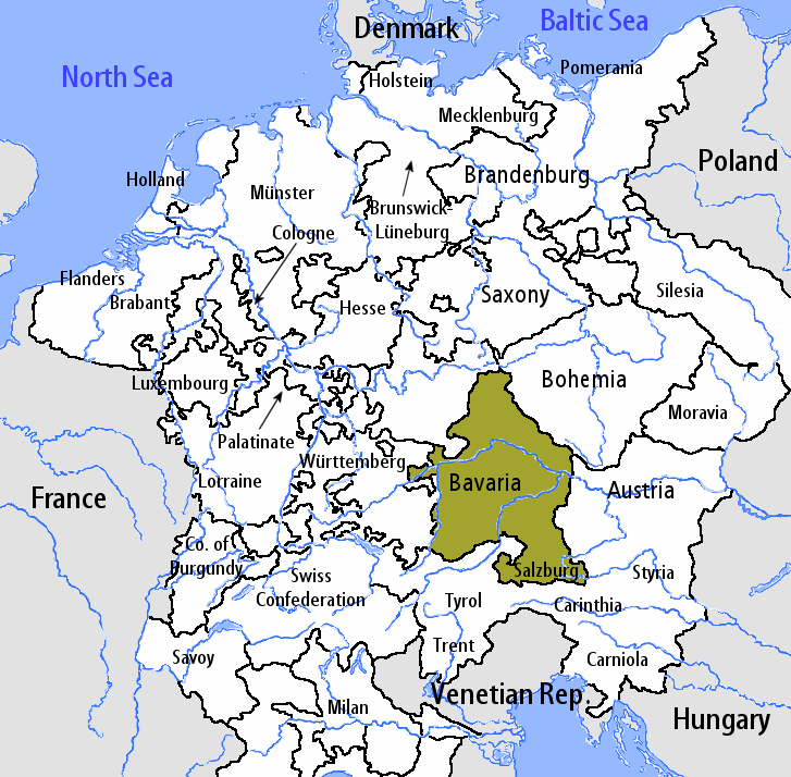
en:User:Silverhelm is the author of this image file. Its contents are based in part on a map published in the "Historical Atlas" by Prof. William R Shepherd, pub. Henry Holt & Co. (New York, 1911).
许可协议
本文件采用知识共享署名-相同方式共享 1.0 通用许可协议授权。
- 您可以自由地:
- 共享 – 复制、发行并传播本作品
- 修改 – 改编作品
- 惟须遵守下列条件:
- 署名 – 您必须对作品进行署名,提供授权条款的链接,并说明是否对原始内容进行了更改。您可以用任何合理的方式来署名,但不得以任何方式表明许可人认可您或您的使用。
- 相同方式共享 – If you alter, transform, or build upon this work, you must distribute the resulting work under the same license as the original.
fr:Catégorie:Cartes d'Allemagne en:Bavarian_Circle-2005-10-15-en.png
| date/time | username | resolution | size | edit summary |
|---|---|---|---|---|
文件历史
点击某个日期/时间查看对应时刻的文件。
| 日期/时间 | 缩略图 | 大小 | 用户 | 备注 | |
|---|---|---|---|---|---|
| 当前 | 2006年8月7日 (一) 11:27 | | 727 × 714(67 KB) | Loveless | This image was copied from wikipedia:fr. The original description was: == Sommaire == fr::en:User:Silverhelm is the author of this image file. Its contents are based in part on a map published in the "Historical Atlas" by Prof. William R Shepherd, |
文件用途
没有页面链接到本图像。
全域文件用途
以下其他wiki使用此文件:
- en.wikipedia.org上的用途
- it.wikipedia.org上的用途
- Ratisbona
- Arcidiocesi di Monaco e Frisinga
- Diocesi di Passavia
- Principato arcivescovile di Salisburgo
- Haag in Oberbayern
- Leuchtenberg
- Ortenburg
- Störnstein
- Circolo Bavarese
- Prepositura di Berchtesgaden
- Template:Provincia Bavarese
- Ducato del Palatinato-Neuburg
- Contea di Ortenburg
- Ducato di Baviera
- Abbazia di Niedermünster
- Abbazia di Obermünster
- Abbazia di Sant'Emmerano
- Elettorato di Baviera
- Vescovato di Ratisbona
- Principato vescovile di Frisinga
- pt.wikipedia.org上的用途
- th.wikipedia.org上的用途