
File:Cambodia Pakistan Locator.png

本预览的尺寸:800 × 351像素。 其他分辨率:320 × 140像素 | 640 × 281像素 | 1,425 × 625像素。
原始文件 (1,425 × 625像素,文件大小:47 KB,MIME类型:image/png)
摘要
| 描述 |
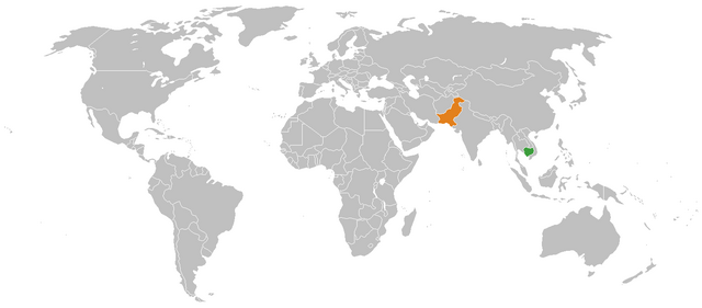
English: Map of the world highlighting the Cambodia in green and Pakistan in orange, for illustrating Cambodia-Pakistan relations. |
| 日期 | |
| 来源 | Based on Image:BlankMap-World.png. |
| 作者 | Flying Saucer |
许可协议
| 我,本作品著作权人,释出本作品至公有领域。这适用于全世界。 在一些国家这可能不合法;如果是这样的话,那么: 我无条件地授予任何人以任何目的使用本作品的权利,除非这些条件是法律规定所必需的。 |
文件历史
点击某个日期/时间查看对应时刻的文件。
| 日期/时间 | 缩略图 | 大小 | 用户 | 备注 | |
|---|---|---|---|---|---|
| 当前 | 2009年10月2日 (五) 16:39 | | 1,425 × 625(47 KB) | Flying Saucer | {{Information |Description={{en|1=Map of the world highlighting the Cambodia in green and Pakistan in orange, for illustrating Cambodia-Pakistan relations.}} |Source=Based on Image:BlankMap-World.png. |Author=Flying Saucer |Dat |
文件用途
以下页面使用本文件:
全域文件用途
以下其他wiki使用此文件:
- en.wikipedia.org上的用途