
File:Kaprije-satelite.gif
本预览的尺寸:609 × 600像素。 其他分辨率:244 × 240像素 | 488 × 480像素 | 646 × 636像素。
原始文件 (646 × 636像素,文件大小:223 KB,MIME类型:image/gif)
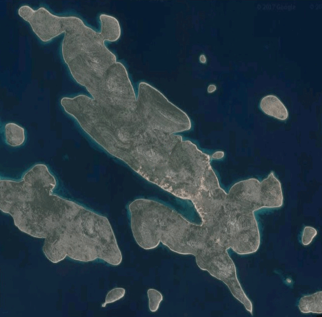
Satelite image of island .
| 本圖像屬於公有領域,因其為NASA的World Wind衛星地圖瀏覽器的一張截圖,且使用了公有領域圖層,如Blue Marble、MODIS、Landsat、SRTM、USGS、GLOBE等。
|
 |
文件历史
点击某个日期/时间查看对应时刻的文件。
| 日期/时间 | 缩略图 | 大小 | 用户 | 备注 | |
|---|---|---|---|---|---|
| 当前 | 2017年4月20日 (四) 17:56 | | 646 × 636(223 KB) | Alonso de Mendoza | mejor |
| 2006年9月12日 (二) 20:14 |  | 462 × 559(146 KB) | Dijxtra~commonswiki | Satelite image of island Kaprije. {{PD-WorldWind}} Category:Islands of Croatia |
文件用途
以下页面使用本文件:
全域文件用途
以下其他wiki使用此文件:
- ceb.wikipedia.org上的用途
- cs.wikipedia.org上的用途
- da.wikipedia.org上的用途
- de.wikipedia.org上的用途
- el.wikipedia.org上的用途
- en.wikipedia.org上的用途
- es.wikipedia.org上的用途
- fr.wikipedia.org上的用途
- hr.wikipedia.org上的用途
- hu.wikipedia.org上的用途
- hy.wikipedia.org上的用途
- id.wikipedia.org上的用途
- it.wikipedia.org上的用途
- ko.wikipedia.org上的用途
- mk.wikipedia.org上的用途
- nn.wikipedia.org上的用途
- no.wikipedia.org上的用途
- pl.wikipedia.org上的用途
- sl.wikipedia.org上的用途
- sr.wikipedia.org上的用途
- tr.wikipedia.org上的用途
- uk.wikipedia.org上的用途
- vi.wikipedia.org上的用途
- www.wikidata.org上的用途