
File:Map of Ohio NA.png

本预览的尺寸:800 × 542像素。 其他分辨率:320 × 217像素 | 640 × 434像素 | 1,024 × 694像素 | 1,280 × 867像素 | 1,967 × 1,333像素。
原始文件 (1,967 × 1,333像素,文件大小:2.02 MB,MIME类型:image/png)
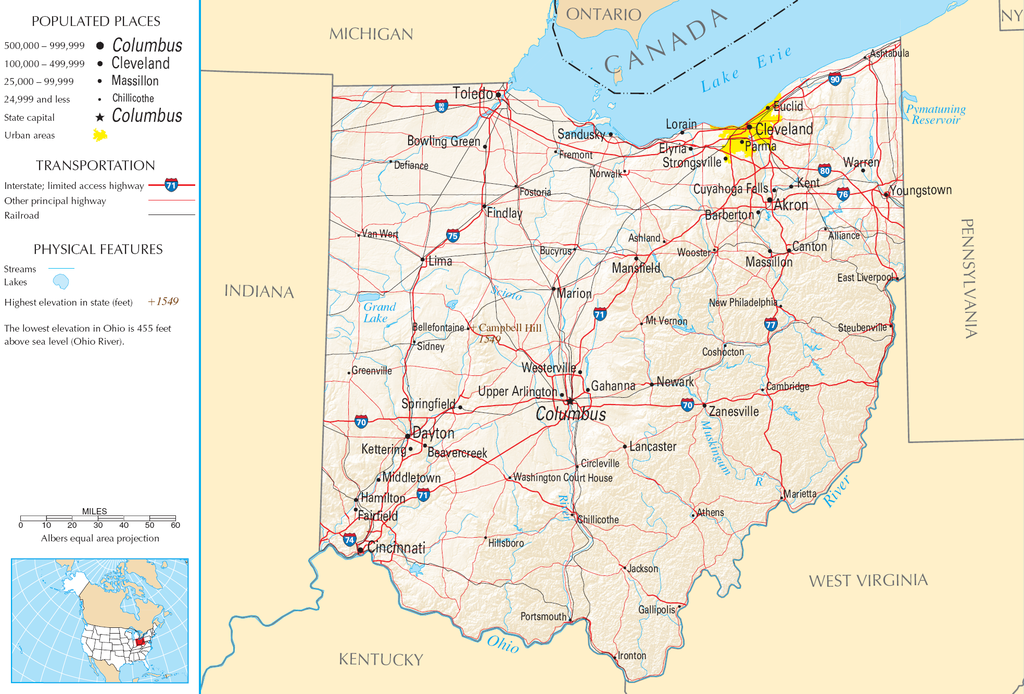
| 描述 | Map of Ohio |
| 来源 | National Atlas |
| 作者 |
本地圖取自美國國家地圖集的某個版本。國家地圖集的絕大多數作品是美國聯邦政府的作品,因此屬於公有領域。
連結網址︰ NationalAtlas.gov | 1970年印刷版︰ 國會檔案館, Perry-Castañeda圖書館
|
文件历史
点击某个日期/时间查看对应时刻的文件。
| 日期/时间 | 缩略图 | 大小 | 用户 | 备注 | |
|---|---|---|---|---|---|
| 当前 | 2007年8月30日 (四) 11:21 | | 1,967 × 1,333(2.02 MB) | Conscious | cropped |
| 2006年8月15日 (二) 08:02 |  | 2,122 × 1,640(2.17 MB) | Huebi~commonswiki | {{Information| |Description=Map of Ohio |Source=[http://www.nationalatlas.gov National Atlas] }} Category:Maps of the United States Category:Maps of Ohio {{PD-USGov-Atlas}} |
文件用途
没有页面链接到本图像。
全域文件用途
以下其他wiki使用此文件:
- arz.wikipedia.org上的用途
- de.wikipedia.org上的用途
- en.wikipedia.org上的用途
- es.wikipedia.org上的用途
- eu.wikipedia.org上的用途
- fr.wikipedia.org上的用途
- gl.wikipedia.org上的用途
- hr.wiktionary.org上的用途
- hsb.wikipedia.org上的用途
- hu.wikipedia.org上的用途
- incubator.wikimedia.org上的用途
- io.wikipedia.org上的用途
- it.wikipedia.org上的用途
- ja.wikipedia.org上的用途
- kk.wikipedia.org上的用途
- mk.wikipedia.org上的用途
- mr.wikipedia.org上的用途
- nl.wikipedia.org上的用途
- rue.wikipedia.org上的用途
- ru.wikipedia.org上的用途
- stq.wikipedia.org上的用途
- sw.wikipedia.org上的用途
- szl.wikipedia.org上的用途
- zea.wikipedia.org上的用途