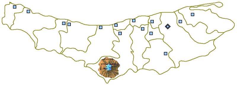
File:MazandaranDamavand.PNG
外观

本预览的尺寸:800 × 293像素。 其他分辨率:320 × 117像素 | 931 × 341像素。
原始文件 (931 × 341像素,文件大小:34 KB,MIME类型:image/png)
文件历史
点击某个日期/时间查看对应时刻的文件。
| 日期/时间 | 缩略图 | 大小 | 用户 | 备注 | |
|---|---|---|---|---|---|
| 当前 | 2007年8月27日 (一) 22:52 | 931 × 341(34 KB) | Hessam | From en:Image:MazandaranDamavand.PNG {{PD-user-w|en|English Wikipedia|Siamax}} {{Information |Description= Map of Māzandarān province showing the location of mount Damāvand in the south. |Source= http://en.wikipedia.org/wiki/Image:MazandaranPla |
文件用途
以下页面使用本文件:
全域文件用途
以下其他wiki使用此文件:
- ar.wikipedia.org上的用途
- ast.wikipedia.org上的用途
- az.wikipedia.org上的用途
- ca.wikipedia.org上的用途
- cs.wikipedia.org上的用途
- cv.wikipedia.org上的用途
- en.wikipedia.org上的用途
- es.wikipedia.org上的用途
- fa.wikipedia.org上的用途
- fi.wikipedia.org上的用途
- kk.wikipedia.org上的用途
- mzn.wikipedia.org上的用途
- ru.wikipedia.org上的用途
- uk.wikipedia.org上的用途
- uz.wikipedia.org上的用途

