
File:Outline map Amsterdam metro 2.PNG

本预览的尺寸:592 × 599像素。 其他分辨率:237 × 240像素 | 474 × 480像素 | 952 × 964像素。
原始文件 (952 × 964像素,文件大小:136 KB,MIME类型:image/png)
摘要
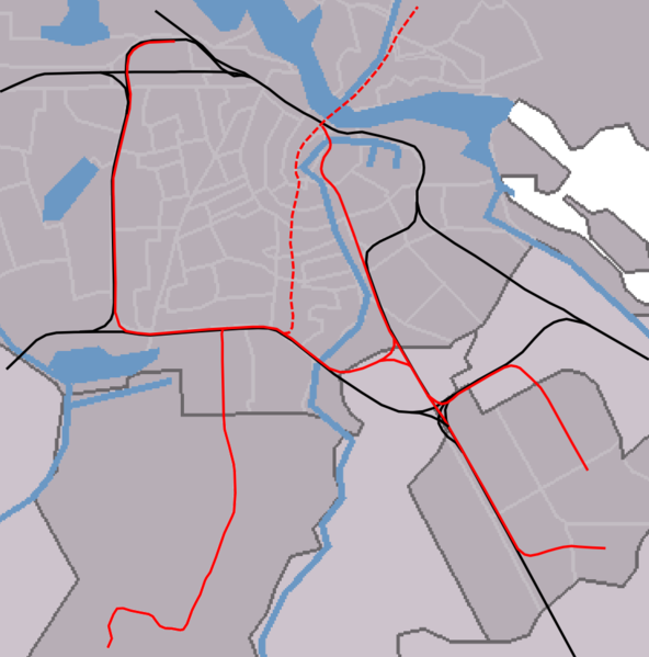
| 描述 | outline map Amsterdam metro/railways |
| 日期 | |
| 来源 | self-made, background based on Image:Map NL - Amsterdam - .png, see also image:Outline_map_Amsterdam_metro_2.PNG for version without North/South line |
| 作者 | Michiel1972 |
许可协议
| 我,本作品著作权人,释出本作品至公有领域。这适用于全世界。 在一些国家这可能不合法;如果是这样的话,那么: 我无条件地授予任何人以任何目的使用本作品的权利,除非这些条件是法律规定所必需的。 |

|
本文件的著作权人,Centraal Bureau voor de Statistiek,允许任何人在适当地表明著作权人的姓名的前提下,以任何目的使用本文件。传播,演绎作品,商业用途及所有其他用途被允许。 |
|
|
文件历史
点击某个日期/时间查看对应时刻的文件。
| 日期/时间 | 缩略图 | 大小 | 用户 | 备注 | |
|---|---|---|---|---|---|
| 当前 | 2007年8月11日 (六) 14:45 | | 952 × 964(136 KB) | Michiel1972 | == Summary == {{Information |Description=outline map Amsterdam metro/railways |Source=self-made, background based on Image:Map NL - Amsterdam - .png, see also image:Outline_map_Amsterdam_metro_2.PNG for version without North/South line |Date=aug |
文件用途
以下3个页面使用本文件:
全域文件用途
以下其他wiki使用此文件:
- ar.wikipedia.org上的用途
- ca.wikipedia.org上的用途
- ceb.wikipedia.org上的用途
- en.wikipedia.org上的用途
- Amsterdam Zuid station
- Module:Location map/data/Netherlands Amsterdam metro station/doc
- Amsterdam RAI station
- Amsterdam Lelylaan station
- De Vlugtlaan metro station
- Henk Sneevlietweg metro station
- Jan van Galenstraat metro station
- Amstelveenseweg metro station
- Noord metro station
- Heemstedestraat metro station
- Postjesweg metro station
- De Boelelaan/VU tram stop
- Van Boshuizenstraat tram stop
- Kronenburg tram stop
- Zonnestein tram stop
- Onderuit tram stop
- Oranjebaan tram stop
- Amstelveen Centrum tram stop
- Marne tram stop
- Gondel tram stop
- Uilenstede tram stop
- Module:Location map/data/Netherlands Amsterdam metro station
- De Pijp metro station
- Vijzelgracht metro station
- Europaplein metro station
- Rokin metro station
- Noorderpark metro station
- eo.wikipedia.org上的用途
- Greenpeace
- Gein (amsterdama metrostacio)
- Isolatorweg (amsterdama metrostacio)
- Westwijk (amsterdama metrostacio)
- Gaasperplas (amsterdama metrostacio)
- Noord (amsterdama metrostacio)
- Nieuwmarkt (amsterdama metrostacio)
- Waterlooplein (amsterdama metrostacio)
- Weesperplein (amsterdama metrostacio)
- Wibautstraat (amsterdama metrostacio)
- Spaklerweg (amsterdama metrostacio)
- Van der Madeweg (amsterdama metrostacio)
- Overamstel (amsterdama metrostacio)
- Bullewijk (amsterdama metrostacio)
- Reigersbos (amsterdama metrostacio)
- Strandvliet (amsterdama metrostacio)
- De Boelelaan/VU (amsterdama metrostacio)
- A.J. Ernststraat (amsterdama metrostacio)
- Van Boshuizenstraat (amsterdama metrostacio)
- Uilenstede (amsterdama metrostacio)
查看此文件的更多全域用途。