
File:Peru Provinces.png

本预览的尺寸:463 × 599像素。 其他分辨率:185 × 240像素 | 371 × 480像素 | 593 × 768像素 | 791 × 1,024像素 | 1,632 × 2,112像素。
原始文件 (1,632 × 2,112像素,文件大小:92 KB,MIME类型:image/png)
摘要
| 描述 |
|
||
| 日期 | 2006年12月8日 (原始上传日期) | ||
| 来源 | 无法识别来源。根据版权声明推断为其自己的作品。 | ||
| 作者 | 无法识别作者。根据版权声明推断作者为Electionworld。 |

许可协议
| 我,本作品著作权人,释出本作品至公有领域。这适用于全世界。 在一些国家这可能不合法;如果是这样的话,那么: 我无条件地授予任何人以任何目的使用本作品的权利,除非这些条件是法律规定所必需的。 |
文件历史
点击某个日期/时间查看对应时刻的文件。
| 日期/时间 | 缩略图 | 大小 | 用户 | 备注 | |
|---|---|---|---|---|---|
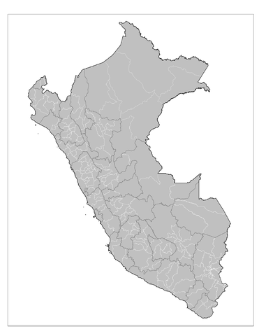
| 当前 | 2008年8月22日 (五) 21:15 | | 1,632 × 2,112(92 KB) | Rarelibra | {{Information |Description= Map of the provinces of Peru |Source= |Date= 8/22/08 |Author= Rarelibra |Permission=Public Domain |other_versions= }} Category:Maps of Peru |
| 2006年12月8日 (五) 21:30 |  | 816 × 1,056(34 KB) | Electionworld | {{ew|en|Rarelibra}} Map of the provinces of Peru. Created by Rarelibra 16:02, 30 August 2006 (UTC) for public domain use. Created using MapInfo Professional v8.5 and various mapping resources. == Licensing == {{PD-self}} |
文件用途
以下页面使用本文件:
全域文件用途
以下其他wiki使用此文件:
- ca.wikipedia.org上的用途
- en.wikipedia.org上的用途
- fr.wikipedia.org上的用途
- ja.wikipedia.org上的用途
- ka.wikipedia.org上的用途
- ko.wikipedia.org上的用途
- mk.wikipedia.org上的用途
- pt.wikipedia.org上的用途
- xmf.wikipedia.org上的用途