
File:Qing Empire circa 1820 EN.svg

此SVG文件的PNG预览的大小:686 × 600像素。 其他分辨率:275 × 240像素 | 549 × 480像素 | 879 × 768像素 | 1,172 × 1,024像素 | 2,343 × 2,048像素 | 849 × 742像素。
原始文件 (SVG文件,尺寸为849 × 742像素,文件大小:548 KB)

|
这张图片需要更新,因为:The island of Sumatra as depicted on the small globe in the lower left is colliding with Atlantis (Tuva?) and a peninsula unknown to modern geography is extending off the western coast of India. The eastern coast of Taiwan was never under the sovereignty of the Qing Empire.在这样做的时候,您可以为该图片加入时间戳。
|
摘要
| 描述 |
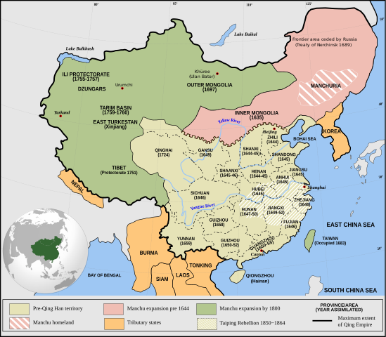
English: Qing Empire c. 1820 |
| 日期 | |
| 来源 | 自己的作品 Incorporates modified version of File:Empire of the Great Qing (orthographic projection).svg. Note that the map excludes Tawang from Tibet. |
| 作者 | Philg88: Attribution Wikimedia Foundation, www.wikimedia.org |
.svg)
许可协议
文件历史
点击某个日期/时间查看对应时刻的文件。
| 日期/时间 | 缩略图 | 大小 | 用户 | 备注 | |
|---|---|---|---|---|---|
| 当前 | 2021年6月13日 (日) 20:03 | | 849 × 742(548 KB) | SSH remoteserver | Reverted to version as of 03:34, 13 June 2021 (UTC) |
| 2021年6月13日 (日) 18:31 |  | 849 × 742(548 KB) | SSH remoteserver | Reverted to version as of 00:04, 13 June 2021 (UTC) | |
| 2021年6月13日 (日) 03:34 |  | 849 × 742(548 KB) | NorthTension | Reverted to version as of 07:44, 15 December 2020 (UTC) | |
| 2021年6月13日 (日) 00:04 |  | 849 × 742(548 KB) | SSH remoteserver | Burma was not a tributary. Please See: A Disguised Defeat https://www.jstor.org/stable/3876499; and Burmese Chronicles | |
| 2020年12月15日 (二) 07:44 |  | 849 × 742(548 KB) | LiliCharlie | Reverted to version as of 21:26, 10 October 2020 (UTC) — that's an embedded bitmap rather than a vector image — as Bidgee said, if you dispute it, upload under a new file name, perhaps as a PNG file | |
| 2020年12月15日 (二) 07:13 |  | 1,172 × 1,024(509 KB) | Бмхүн | Reverted to version as of 10:04, 24 March 2020 (UTC) | |
| 2020年10月10日 (六) 21:26 |  | 849 × 742(548 KB) | Bidgee | Reverted to version as of 16:15, 29 April 2014 (UTC) if you dispute it, upload under a new file per COM:OVERWRITE | |
| 2020年10月4日 (日) 11:00 |  | 1,172 × 1,024(509 KB) | Бмхүн | The oldest version has too much wrong,such as Guizhou should be Guangxi, Caton isn’t Guangdong, and manchus homeland located in south part of Manchuria | |
| 2020年6月23日 (二) 16:54 |  | 849 × 742(548 KB) | LiliCharlie | Reverted embedded bitmap version to true vector version as of 16:15, 29 April 2014 (UTC) | |
| 2020年3月24日 (二) 10:04 |  | 1,172 × 1,024(509 KB) | Anchuhu | Reverted to version as of 06:35, 9 January 2019 (UTC) the borders and provinces name are wrong |
文件用途
没有页面链接到本图像。
全域文件用途
以下其他wiki使用此文件:
- ar.wikipedia.org上的用途
- cdo.wikipedia.org上的用途
- cs.wikipedia.org上的用途
- da.wikipedia.org上的用途
- de.wikipedia.org上的用途
- el.wikipedia.org上的用途
- en.wikipedia.org上的用途
- China
- History of China
- History of Asia
- Imperialism
- History of East Asia
- Taiping Rebellion
- Manchu people
- History of Tibet
- Treaty of Nerchinsk
- Portal:China
- Portal:Asia
- History of Mongolia
- Amur Annexation
- Transition from Ming to Qing
- Settler colonialism
- Talk:Qing dynasty/Archive 5
- Tibet under Qing rule
- Xinjiang under Qing rule
- List of modern great powers
- Timeline of the Qing dynasty
- User:Falcaorib
- Talk:COVID-19 pandemic/Archive 2
- User talk:FuzionEXA
- User:Sanskar shingare/sandbox
- es.wikipedia.org上的用途
- et.wikipedia.org上的用途
- fa.wikipedia.org上的用途
- fr.wikipedia.org上的用途
查看本文件的更多全域用途。