
File:Site of Fort Dunlap.jpg
本预览的尺寸:800 × 450像素。 其他分辨率:320 × 180像素 | 640 × 360像素 | 1,024 × 576像素 | 1,280 × 720像素 | 2,816 × 1,584像素。
原始文件 (2,816 × 1,584像素,文件大小:1.82 MB,MIME类型:image/jpeg)
| 相机位置 | | 在以下服务上查看本图像和附近其他图像: OpenStreetMap |
|---|
| 描述 |
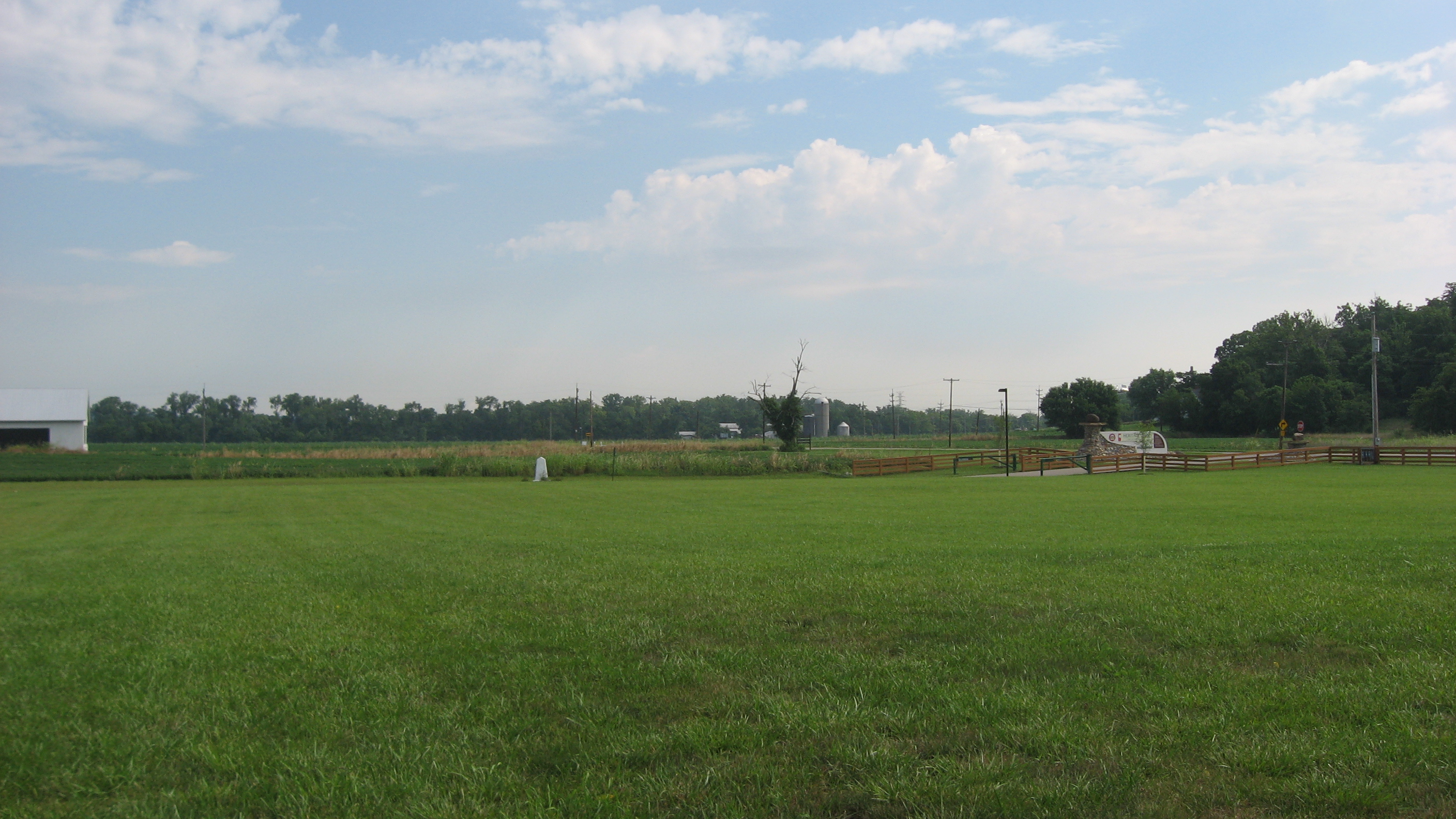
English: Fields on the site of Fort Dunlap, located in a township park along Miami River Road in Colerain Township, Hamilton County, Ohio, United States. As one of the first white settlements in the Cincinnati area, it is a valuable archaeological site and has accordingly been listed on the National Register of Historic Places. |
||
| 日期 | 摄于2010年7月17日 | ||
| 来源 | 自己的作品 | ||
| 作者 | Nyttend | ||
| 授权 (二次使用本文件) |
|
文件历史
点击某个日期/时间查看对应时刻的文件。
| 日期/时间 | 缩略图 | 大小 | 用户 | 备注 | |
|---|---|---|---|---|---|
| 当前 | 2010年7月28日 (三) 06:04 | | 2,816 × 1,584(1.82 MB) | Nyttend | {{Location|39|17|36|N|84|39|12|W}} {{Information |Description={{en|Fields on the site of {{w|Dunlap Archeological District|Fort Dunlap}}, located in a township park along Miami River Road in {{w|Colerain Township, Hamilton County, Ohio|Colerain Township}} |
文件用途
全域文件用途
以下其他wiki使用此文件:
- en.wikipedia.org上的用途
- eu.wikipedia.org上的用途
- fa.wikipedia.org上的用途
- pt.wikipedia.org上的用途
- vi.wikipedia.org上的用途
- www.wikidata.org上的用途