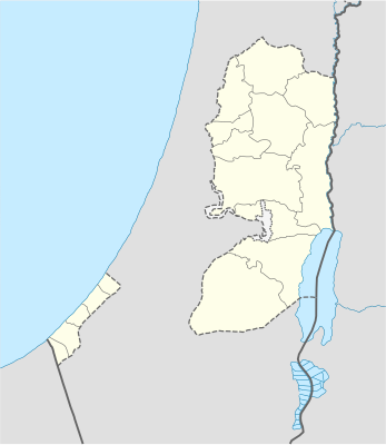
Template:Location map Palestine
| 名称 | 巴勒斯坦國 | |||
|---|---|---|---|---|
| 边界坐标 | ||||
| 32.7 | ||||
| 34.0 | ←↕→ | 35.8 | ||
| 30.9 | ||||
| 地图中心 | 31°48′N 34°54′E / 31.8°N 34.9°E | |||
| x | ({{{3}}}-34.0)*55.555555555556 | |||
| y | ({{{2}}}-32.7)*-55.555555555555 | |||
| 图像 | West Bank and Gaza Strip location map.svg | |||

| ||||
| 上述文档嵌入自Template:Location map Palestine/doc。 (编辑 | 历史) 编者可以在本模板的沙盒 (创建 | 镜像)和测试样例 (创建)页面进行实验。 请在/doc子页面中添加分类。本模板的子页面。 |
