
File:Le Bourget map.svg

此SVG文件的PNG预览的大小:587 × 600像素。 其他分辨率:235 × 240像素 | 470 × 480像素 | 752 × 768像素 | 1,002 × 1,024像素 | 2,004 × 2,048像素 | 1,552 × 1,586像素。
原始文件 (SVG文件,尺寸为1,552 × 1,586像素,文件大小:541 KB)
摘要
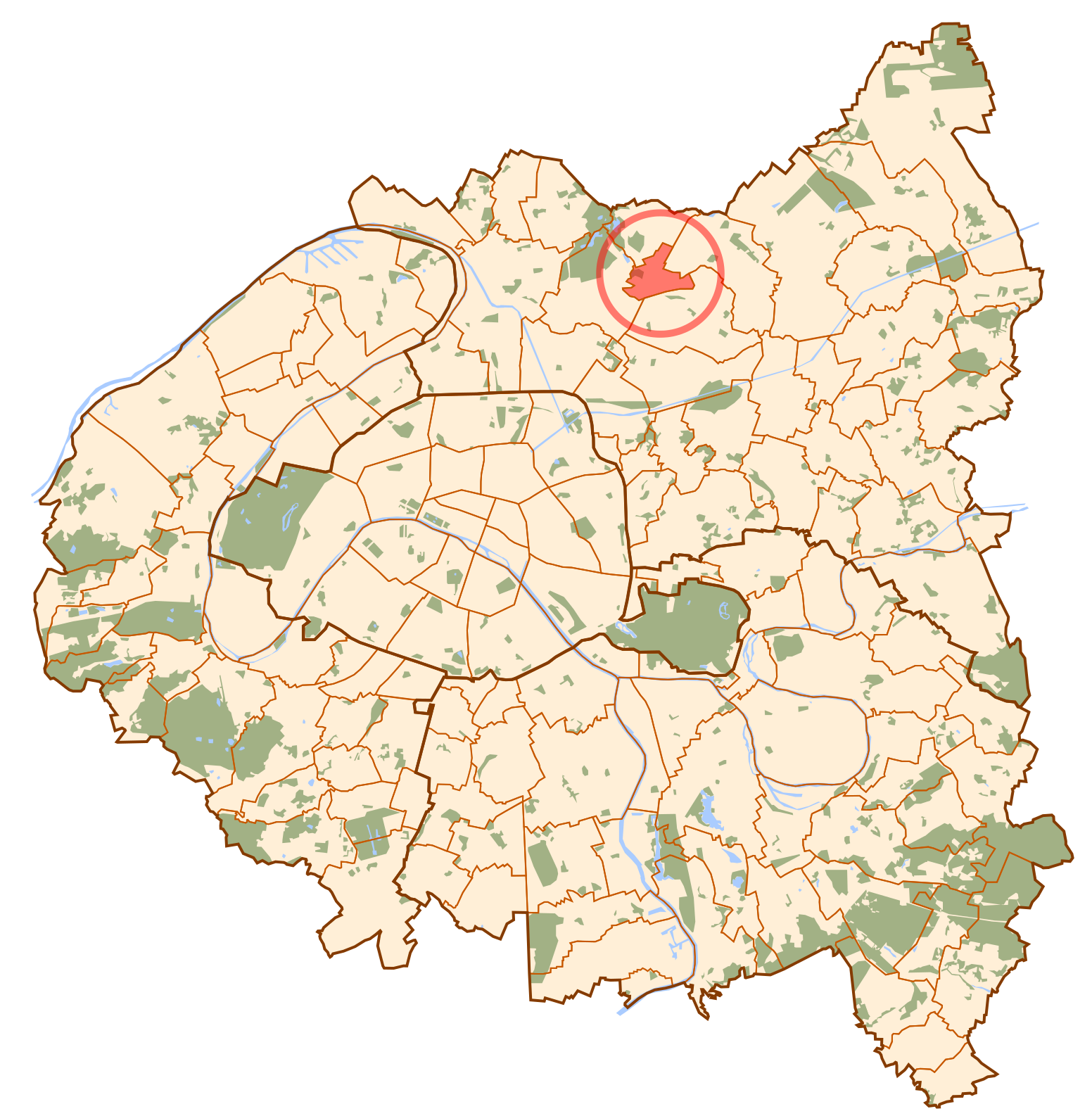
| 描述 | Map of Paris and its inner ring départements, localization of le Bourget (Author: Metropolitan). |
| 日期 | 2006年10月10日 (原始上传日期) |
| 来源 | No machine-readable source provided. Own work assumed (based on copyright claims). |
| 作者 | No machine-readable author provided. Metropolitan~commonswiki assumed (based on copyright claims). |
许可协议
| 我,本作品著作权人,释出本作品至公有领域。这适用于全世界。 在一些国家这可能不合法;如果是这样的话,那么: 我无条件地授予任何人以任何目的使用本作品的权利,除非这些条件是法律规定所必需的。 |
文件历史
点击某个日期/时间查看对应时刻的文件。
| 日期/时间 | 缩略图 | 大小 | 用户 | 备注 | |
|---|---|---|---|---|---|
| 当前 | 2006年10月10日 (二) 11:28 | | 1,552 × 1,586(541 KB) | Metropolitan~commonswiki | Map of Paris and its inner ring départements, localization of le Bourget (Author: Metropolitan). Category:Locator maps for municipalities of Seine-Saint-Denis |
文件用途
没有页面使用本文件。
全域文件用途
以下其他wiki使用此文件:
- ar.wikipedia.org上的用途
- arz.wikipedia.org上的用途
- ba.wikipedia.org上的用途
- ca.wikipedia.org上的用途
- cs.wikipedia.org上的用途
- en.wikipedia.org上的用途
- eo.wikipedia.org上的用途
- es.wikipedia.org上的用途
- eu.wikipedia.org上的用途
- fa.wikipedia.org上的用途
- fi.wikipedia.org上的用途
- fr.wikipedia.org上的用途
- id.wikipedia.org上的用途
- ko.wikipedia.org上的用途
- la.wikipedia.org上的用途
- no.wikipedia.org上的用途
- pl.wikipedia.org上的用途
- ro.wikipedia.org上的用途
- tt.wikipedia.org上的用途
- ur.wikipedia.org上的用途
- vi.wikipedia.org上的用途
- www.wikidata.org上的用途