
File:The Armenian plateau near Mount Masis.jpg
本预览的尺寸:800 × 533像素。 其他分辨率:320 × 213像素 | 640 × 427像素 | 1,024 × 683像素 | 1,280 × 853像素 | 2,304 × 1,536像素。
原始文件 (2,304 × 1,536像素,文件大小:616 KB,MIME类型:image/jpeg)
摘要
| 描述 |
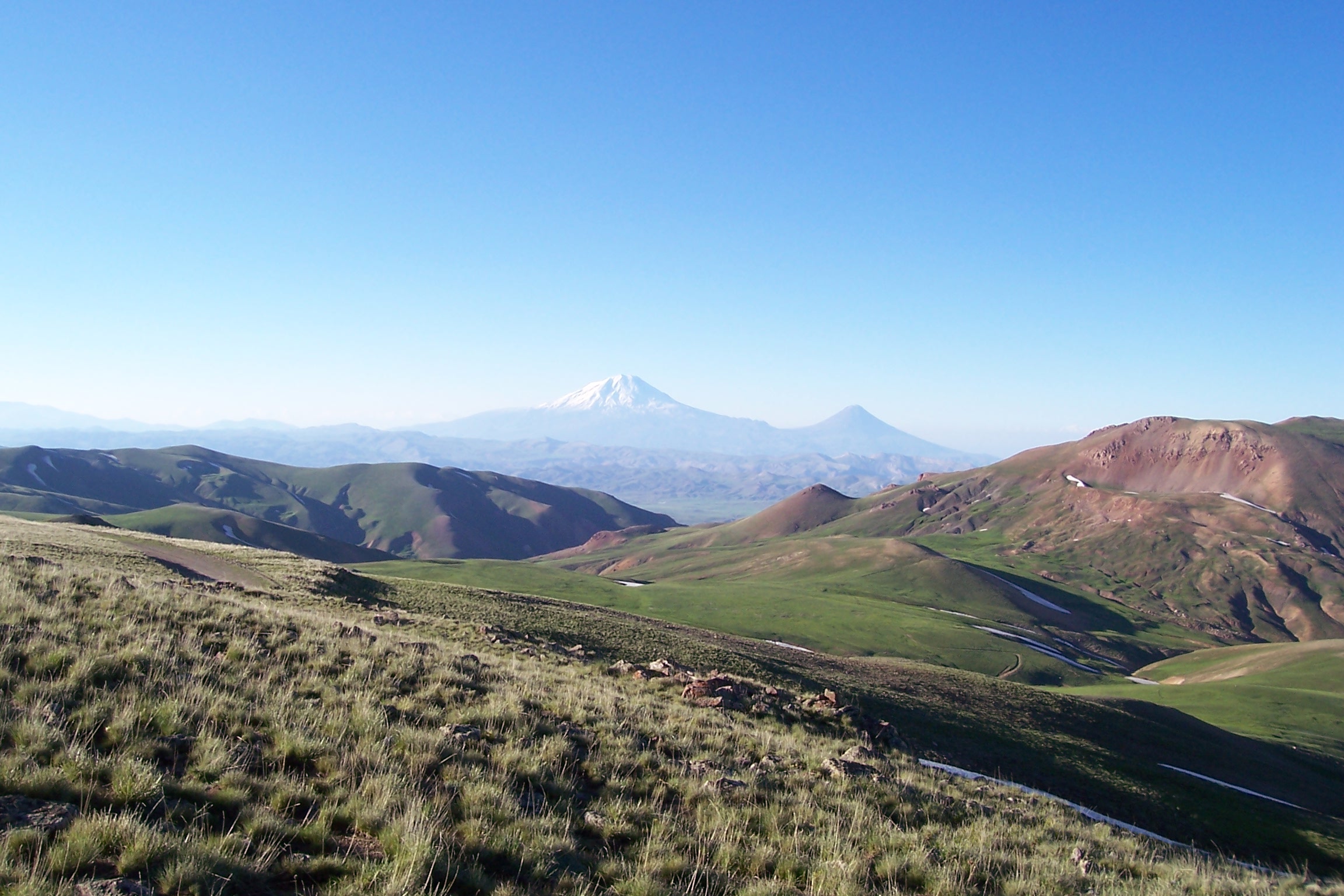
English: A view of the mountains in the Armenian plateau at the Turkey-Iran border. In the center background is Mount Ararat. |
| 日期 | |
| 来源 | Originally posted to Panoramio as Büyük ve Küçük Ağrı Dağı |
| 作者 | ahmet soyak |
| 相机位置 | | 在以下服务上查看本图像和附近其他图像: OpenStreetMap |
|---|
许可协议
本文件采用知识共享署名 3.0 未本地化版本许可协议授权。
- 您可以自由地:
- 共享 – 复制、发行并传播本作品
- 修改 – 改编作品
- 惟须遵守下列条件:
- 署名 – 您必须对作品进行署名,提供授权条款的链接,并说明是否对原始内容进行了更改。您可以用任何合理的方式来署名,但不得以任何方式表明许可人认可您或您的使用。
| This image, which was originally posted to Panoramio, was reviewed on 05-24-2010 by the administrator or trusted user Leoboudv, who confirmed that it was available on Panoramio under the above license on that date. |
文件历史
点击某个日期/时间查看对应时刻的文件。
| 日期/时间 | 缩略图 | 大小 | 用户 | 备注 | |
|---|---|---|---|---|---|
| 当前 | 2012年3月31日 (六) 02:40 | | 2,304 × 1,536(616 KB) | Isarra | Remove watermark date |
| 2009年8月10日 (一) 08:54 |  | 2,304 × 1,536(702 KB) | Serouj | {{Information |Description={{en|1=A view of the Armenian Mountains in the Armenian plateau at the Turkey-Iran border. In the center background is Mount Ararat, the tallest mountain in the Armenian range.}} |S |
文件用途
以下页面使用本文件:
全域文件用途
以下其他wiki使用此文件:
- ast.wikipedia.org上的用途
- azb.wikipedia.org上的用途
- da.wikipedia.org上的用途
- de.wikipedia.org上的用途
- en.wikipedia.org上的用途
- eo.wikipedia.org上的用途
- es.wikipedia.org上的用途
- fa.wikipedia.org上的用途
- fr.wikipedia.org上的用途
- hi.wikipedia.org上的用途
- hr.wikipedia.org上的用途
- hu.wikipedia.org上的用途
- hy.wikipedia.org上的用途
- hyw.wikipedia.org上的用途
- id.wikipedia.org上的用途
- it.wikipedia.org上的用途
- it.wikivoyage.org上的用途
- ja.wikipedia.org上的用途
- ka.wikipedia.org上的用途
- ky.wikipedia.org上的用途
- lv.wikipedia.org上的用途
- mk.wikipedia.org上的用途
- ms.wikipedia.org上的用途
- mt.wikipedia.org上的用途
- nn.wikipedia.org上的用途
- no.wikipedia.org上的用途
- ru.wikipedia.org上的用途
- sh.wikipedia.org上的用途
- sl.wikipedia.org上的用途
- sq.wikipedia.org上的用途
- ta.wikipedia.org上的用途
- th.wikipedia.org上的用途
- tr.wikipedia.org上的用途
查看此文件的更多全域用途。