
File:Darfur Sudan map with districts.svg

此 SVG 檔案的 PNG 預覽的大小:424 × 600 像素。 其他解析度:170 × 240 像素 | 339 × 480 像素 | 543 × 768 像素 | 724 × 1,024 像素 | 1,448 × 2,048 像素 | 744 × 1,052 像素。
原始檔案 (SVG 檔案,表面大小:744 × 1,052 像素,檔案大小:155 KB)
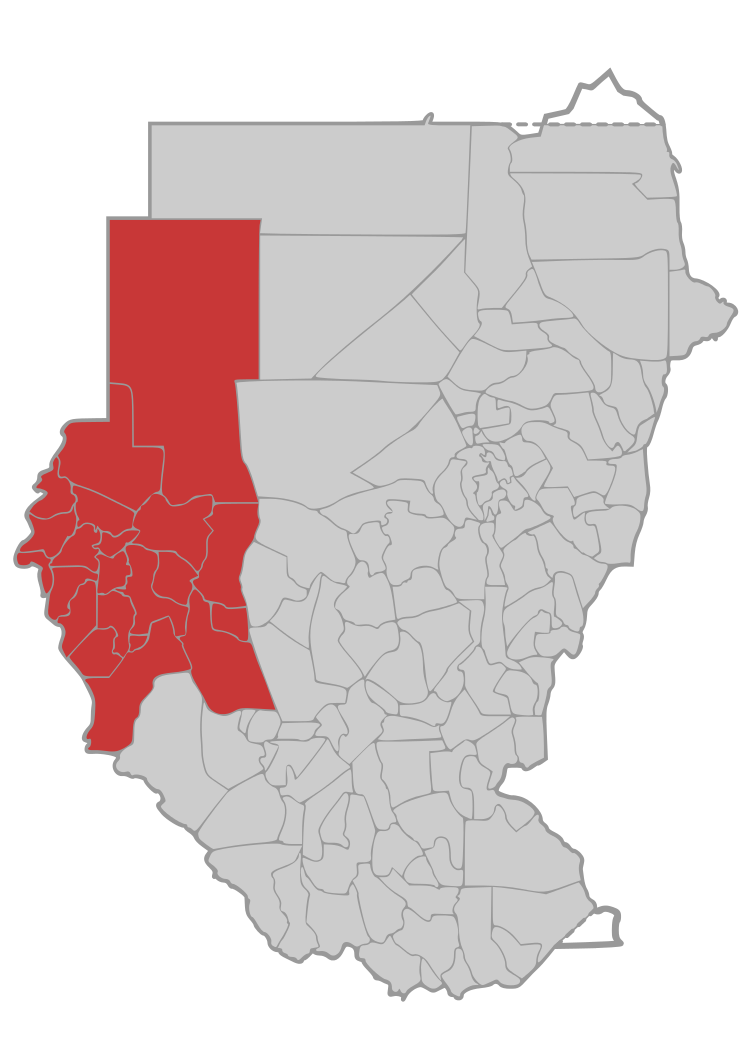
| 描述 | Map of Darfur Region with district borders in Sudan | ||
| 日期 | |||
| 來源 | own work, based on Image:Sudan district map.svg | ||
| 作者 | de:user:Sven-steffen arndt | ||
| 授權許可 (重用此檔案) |
|
檔案歷史
點選日期/時間以檢視該時間的檔案版本。
| 日期/時間 | 縮圖 | 尺寸 | 使用者 | 備註 | |
|---|---|---|---|---|---|
| 目前 | 2006年10月9日 (一) 00:49 | | 744 × 1,052(155 KB) | Sven-steffen arndt | bigger outer border |
| 2006年10月4日 (三) 21:45 |  | 744 × 1,052(155 KB) | Sven-steffen arndt | {{Information |Description=Map of Darfur Region with district borders in Sudan |Source=own work, based on Image:Sudan district map.svg |Date=4. Oktober 2006 |Author=de:user:Sven-steffen arndt |Permission={{PD-self}} |other_versions= }} [[Catego |
檔案用途
下列頁面有用到此檔案:
全域檔案使用狀況
以下其他 wiki 使用了這個檔案:
- ca.wikipedia.org 的使用狀況
- ckb.wikipedia.org 的使用狀況
- en.wikipedia.org 的使用狀況
- fa.wikipedia.org 的使用狀況
- id.wikipedia.org 的使用狀況
- mzn.wikipedia.org 的使用狀況
- nl.wikipedia.org 的使用狀況
- www.wikidata.org 的使用狀況