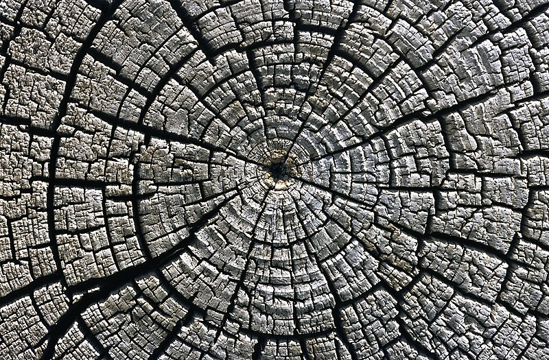
File:Weathered growth rings at Aztec Ruins National Monument.jpg
外觀

預覽大小:800 × 525 像素。 其他解析度:320 × 210 像素 | 640 × 420 像素 | 1,024 × 671 像素 | 1,280 × 839 像素 | 1,969 × 1,291 像素。
原始檔案 (1,969 × 1,291 像素,檔案大小:3.93 MB,MIME 類型:image/jpeg)
檔案歷史
點選日期/時間以檢視該時間的檔案版本。
| 日期/時間 | 縮圖 | 尺寸 | 使用者 | 備註 | |
|---|---|---|---|---|---|
| 目前 | 2010年1月9日 (六) 00:57 |  | 1,969 × 1,291(3.93 MB) | Michael Gäbler | {{Information |Description={{en|1=Weathered growth rings in a horizontal cross section cut through an tree felled around AD 1111 used for the western building complex at [[:en:Aztec Ruins National Monument|Aztec Ruins |
檔案用途
下列2個頁面有用到此檔案:
全域檔案使用狀況
以下其他 wiki 使用了這個檔案:
- ba.wikipedia.org 的使用狀況
- bn.wikipedia.org 的使用狀況
- crh.wikipedia.org 的使用狀況
- cv.wikipedia.org 的使用狀況
- de.wikipedia.org 的使用狀況
- en.wikipedia.org 的使用狀況
- fa.wikipedia.org 的使用狀況
- fr.wikipedia.org 的使用狀況
- Parc national des grottes de Carlsbad
- El Malpais National Monument
- Aztec Ruins National Monument
- Capulin Volcano National Monument
- Gila Cliff Dwellings National Monument
- Bandelier National Monument
- El Morro National Monument
- Piste de Santa Fe
- Monument national de Petroglyph
- Camino Real de Tierra Adentro
- Fort Union National Monument
- Salinas Pueblo Missions National Monument
- Parc national des White Sands
- Modèle:Palette Unités du National Park System au Nouveau-Mexique
- Manhattan Project National Historical Park
- Valles Caldera National Preserve
- Pecos National Historical Park
- Chaco Culture National Historical Park
- Old Spanish National Historic Trail
- he.wikipedia.org 的使用狀況
- hr.wikipedia.org 的使用狀況
- hu.wikipedia.org 的使用狀況
- ko.wikipedia.org 的使用狀況
- lbe.wikipedia.org 的使用狀況
- mk.wikipedia.org 的使用狀況
- mn.wikipedia.org 的使用狀況
- os.wikipedia.org 的使用狀況
- pam.wikipedia.org 的使用狀況
- pl.wikipedia.org 的使用狀況
- pt.wikipedia.org 的使用狀況
- pt.wikibooks.org 的使用狀況
檢視此檔案的更多全域使用狀況。


