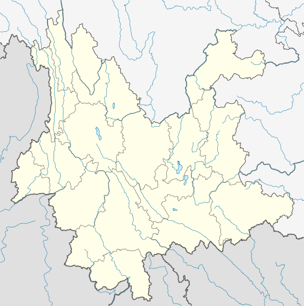
File:China Yunnan location map.svg
外觀

此 SVG 檔案的 PNG 預覽的大小:596 × 599 像素。 其他解析度:239 × 240 像素 | 477 × 480 像素 | 764 × 768 像素 | 1,019 × 1,024 像素 | 2,037 × 2,048 像素 | 1,318 × 1,325 像素。
原始檔案 (SVG 檔案,表面大小:1,318 × 1,325 像素,檔案大小:330 KB)
檔案歷史
點選日期/時間以檢視該時間的檔案版本。
| 日期/時間 | 縮圖 | 尺寸 | 用戶 | 備註 | |
|---|---|---|---|---|---|
| 目前 | 2010年3月15日 (一) 18:16 |  | 1,318 × 1,325(330 KB) | NordNordWest | =={{int:filedesc}}== {{Information |Description= {{de|Positionskarte von Yunnan, Volksrepublik China}} Quadratische Plattkarte, N-S-Streckung 110 %. Geographische Begrenzung der Karte: * N: 29.5° N * S: 21.0° |
檔案用途
下列12個頁面有用到此檔案:
全域檔案使用狀況
以下其他 wiki 使用了這個檔案:
- ar.wikipedia.org 的使用狀況
- ast.wikipedia.org 的使用狀況
- ba.wikipedia.org 的使用狀況
- bg.wikipedia.org 的使用狀況
- bn.wikipedia.org 的使用狀況
- ceb.wikipedia.org 的使用狀況
- cs.wikipedia.org 的使用狀況
- en.wikipedia.org 的使用狀況
- eo.wikipedia.org 的使用狀況
- es.wikipedia.org 的使用狀況
- Lijiang
- Ciudad de Shangri-La
- Lago Erhai
- Chengjiang
- Yuxi
- Lago Fuxian
- Pu'er
- Qujing
- Prefectura autónoma bai de Dali
- Tengchong
- Wikiproyecto:Ilustración/Taller de Cartografía/Realizaciones/Asia
- Karst de Shilin
- Plantilla:Mapa de localización de Yunnan
- Aeropuerto Internacional de Kunming-Changshui
- Estanque del dragón negro
- Montes Gaoligong
- Puente Duge
- Zhanyi
- Montañas nevadas Mainri
- Montaña Nevada Dragón de Jade
- fa.wikipedia.org 的使用狀況
檢視此檔案的更多全域使用狀況。


