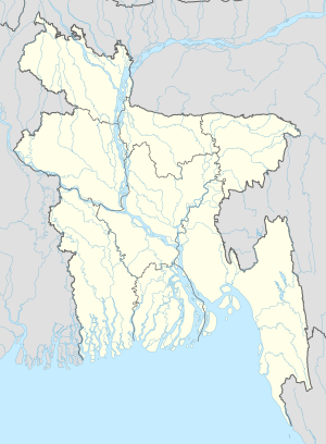
恰特拉 (孟加拉国)
外观
| 恰特拉 | |
|---|---|
| 村 | |
| 坐标:22°36′N 90°27′E / 22.600°N 90.450°E | |
| 国 | |
| 专区 | 巴里萨尔专区 |
| 县 | 巴里萨尔县 |
| 时区 | 孟加拉国标准时间(UTC+6) |
恰特拉(英语:Chatra)是孟加拉国中部巴里萨尔专区巴里萨尔县的村庄[1][2]。
参考
[编辑]- ^ Parisaṃkhyāna Byuro. Bangladesh Population Census, 2001: Barisal. Bangladesh Bureau of Statistics, Planning Division, Ministry of Planning, Govt. of the People's Republic of Bangladesh. 2005 [18 January 2011]. (原始内容存档于2014-06-29).
- ^ Geographic Names (页面存档备份,存于互联网档案馆),National Geospatial-Intelligence Agency, accessed 18 January 2011

