
File:C77190s1 Ant.Map Ross Island.jpg
本预览的尺寸:800 × 508像素。 其他分辨率:320 × 203像素 | 640 × 406像素 | 1,024 × 650像素 | 1,280 × 813像素 | 2,560 × 1,625像素 | 5,118 × 3,249像素。
原始文件 (5,118 × 3,249像素,文件大小:1.95 MB,MIME类型:image/jpeg)
| 描述 |
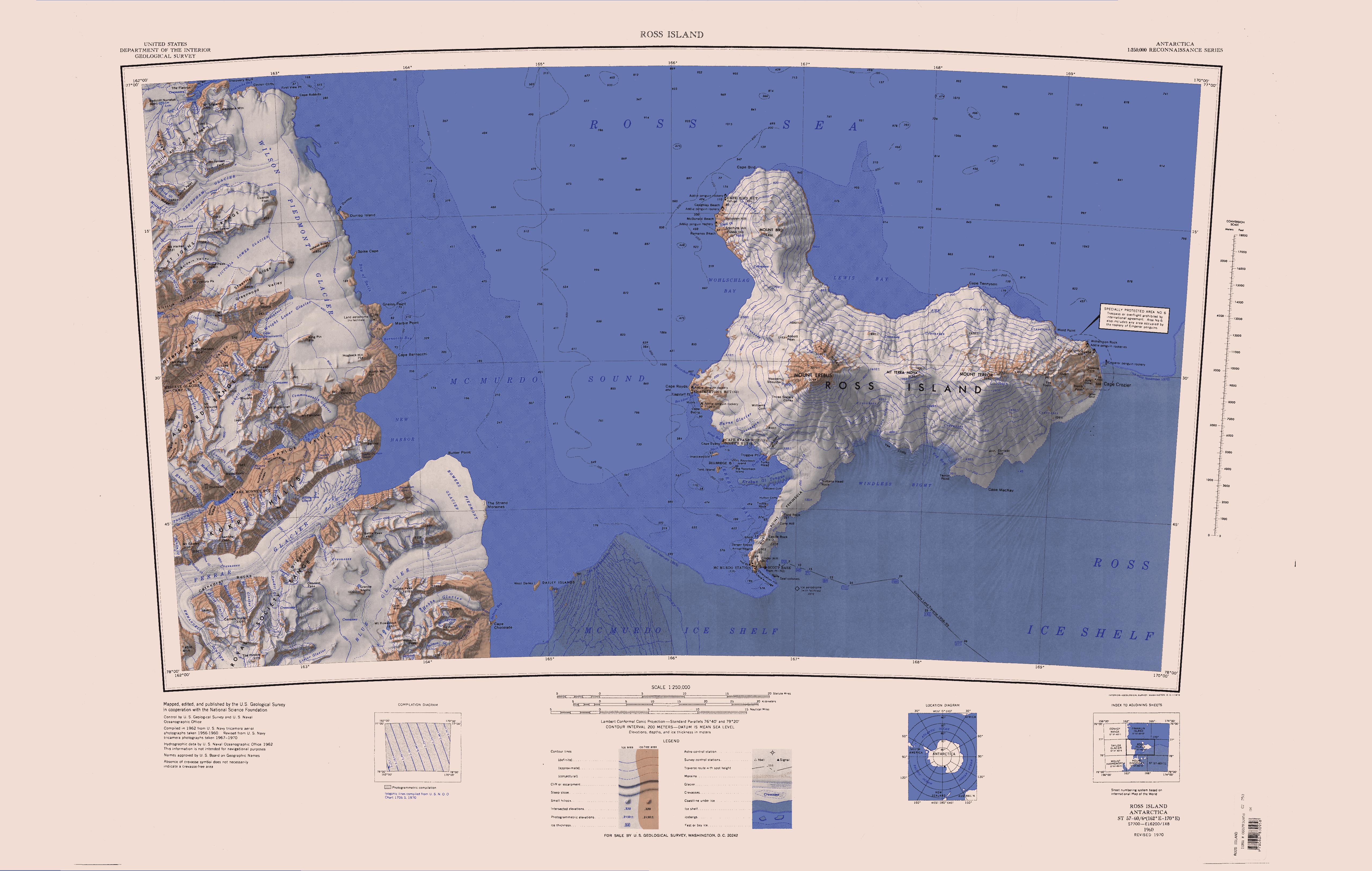
English: Map of Antarctica by the United States Antarctic Resource Center of the US Geological Society. |
| 来源 | USGS |
| 作者 | USGS |
| 其他版本 | File:Ross Island Topographic Map USGS.png : Higher quality PNG version |
|
|
文件历史
点击某个日期/时间查看对应时刻的文件。
| 日期/时间 | 缩略图 | 大小 | 用户 | 备注 | |
|---|---|---|---|---|---|
| 当前 | 2005年4月15日 (五) 12:01 | | 5,118 × 3,249(1.95 MB) | Achim Raschka | Map of Antarctica by the United States Antarctic Ressource Center of the US Geological Society. {{PD-US}} Copyrights and Trademarks USGS-authored or produced data and information are in the public domain. While the content of most USGS web pages is in th |
文件用途
以下页面使用本文件:
全域文件用途
以下其他wiki使用此文件:
- ceb.wikipedia.org上的用途
- de.wikipedia.org上的用途
- Meserve-Gletscher
- Antarktische Trockentäler
- Tschadsee (Antarktika)
- Dailey Islands
- Marble Point
- Kap Roberts
- Wilson-Piedmont-Gletscher
- Kap Bernacchi
- Bernacchi-Bucht
- Bowers-Piedmont-Gletscher
- Blue Glacier
- Denton Hills
- Staeffler Ridge
- Matterhorn (Viktorialand)
- Lacroix-Gletscher
- Matterhorn-Gletscher
- Debenham-Gletscher
- Gonville and Caius Range
- Arnold Cove
- Gneiss Point
- Redcliff-Nunatak
- Borns-Gletscher
- Mount Coates (Viktorialand)
- Briggs Hill
- Descent-Pass
- Brodie Ponds
- Kuechle Island
- West Dailey Island
- en.wikipedia.org上的用途
查看此文件的更多全域用途。