
File:Saitama-ken géolocalisation relief.svg

此SVG文件的PNG预览的大小:800 × 512像素。 其他分辨率:320 × 205像素 | 640 × 410像素 | 1,024 × 656像素 | 1,280 × 819像素 | 2,560 × 1,639像素 | 1,715 × 1,098像素。
原始文件 (SVG文件,尺寸为1,715 × 1,098像素,文件大小:1.84 MB)
摘要
| 相机位置 | | 在以下服务上查看本图像和附近其他图像: OpenStreetMap |
|---|
| 描述 |
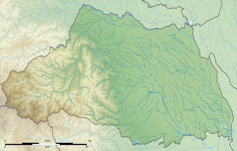
Français : Carte topographique vierge de la Préfecture de Saitama, au Japon, destinée à la géolocalisation.
Deutsch: Topographische Karte der Präfektur Saitama.
English: Topographic blank map of theSaitama Prefecture, for geolocalisation purpose.
Español: Mapa topográfico de la Prefectura de Saitama.
Italiano: Mappa topografica della Prefettura di Saitama.
日本語: 埼玉県の地図.
Português: Carta topográfica de la província de Saitama.
|
||
| 日期 | (UTC) | ||
| 来源 |
Création personnelle ;
|
||
| 作者 | © Bourrichon (talk) - fr:Bourrichon | ||
| 授权 (二次使用本文件) |
|
||
| 其他版本 | File:Saitama-ken géolocalisation.svg |

|
This SVG file contains embedded text that can be translated into your language, using any capable SVG editor, text editor or the SVG Translate tool. For more information see: About translating SVG files. |
许可协议
我,本作品著作权人,特此采用以下许可协议发表本作品:
本文件采用知识共享署名-相同方式共享 2.0 法国许可协议授权。
署名: Bourrichon (atelier graphique)
- 您可以自由地:
- 共享 – 复制、发行并传播本作品
- 修改 – 改编作品
- 惟须遵守下列条件:
- 署名 – 您必须对作品进行署名,提供授权条款的链接,并说明是否对原始内容进行了更改。您可以用任何合理的方式来署名,但不得以任何方式表明许可人认可您或您的使用。
- 相同方式共享 – 如果您再混合、转换或者基于本作品进行创作,您必须以与原先许可协议相同或相兼容的许可协议分发您贡献的作品。

文件历史
点击某个日期/时间查看对应时刻的文件。
| 日期/时间 | 缩略图 | 大小 | 用户 | 备注 | |
|---|---|---|---|---|---|
| 当前 | 2013年7月3日 (三) 18:49 | | 1,715 × 1,098(1.84 MB) | Bourrichon | == {{int:filedesc}} == {{Location|36|50|00|N|139|00|00|E|scale:10000}} {{Information |Description= {{fr|Carte topographique vierge de la préfecture métropolitaine de Tokyo (東京都, ''Tōkyō-to''), au [[:fr:Japon|Japon... |
文件用途
以下3个页面使用本文件:
全域文件用途
以下其他wiki使用此文件:
- ar.wikipedia.org上的用途
- ceb.wikipedia.org上的用途
- ce.wikipedia.org上的用途
- de.wikipedia.org上的用途
- en.wikipedia.org上的用途
- Saitama Prefecture
- Hikawa Shrine (Saitama)
- Siege of Musashi-Matsuyama (1563)
- Kawagoe Castle
- Japan Open Golf Championship
- Kumagaya Athletic Stadium
- Hachigata Castle
- Inariyama Kofun
- Minuma Tsūsen-bori
- Taki-no Castle
- Module:Location map/data/Japan Saitama Prefecture/doc
- Oshi Castle
- Iwatsuki Castle
- Handa Cup Senior Masters
- 1957 Canada Cup
- Koma Shrine
- Module:Location map/data/Japan Saitama Prefecture
- User:Ty654/List of earthquakes from 1920-1929 exceeding magnitude 6+
- User:Ty654/List of earthquakes from 1930-1939 exceeding magnitude 6+
- User:Ty654/List of earthquakes from 1965-1969 exceeding magnitude 6+
- Sugaya Yakata
- Sugiyama Castle
- Omishinkanji Kofun
- Miyazuka Kofun
- Mizuko Shell Mound
- Kurohama shell mound
- Shinpukuji shell mound
- Kawagoekan
- Gobōyama Site
- Tochimoto Barrier
- Nogamishimogō Stele
- Shinmei Shell Mound
- Minamikawara Stele
- Komae Village Stone Age Dwelling Site
- Shimozato-Aoyama Stele Production Site
- Suedono Tile Kiln
- Ōya Tile Kiln
- Hara kanga ruins
- Matsuyama Castle (Ranzan)
- Maruhakayama Kofun
- Teppōyama Kofun
查看此文件的更多全域用途。