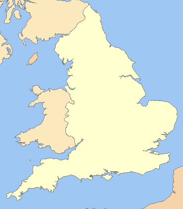
File:England in the uk outline map.png
外观
England_in_the_uk_outline_map.png (369 × 420像素,文件大小:7 KB,MIME类型:image/png)
文件历史
点击某个日期/时间查看对应时刻的文件。
| 日期/时间 | 缩略图 | 大小 | 用户 | 备注 | |
|---|---|---|---|---|---|
| 当前 | 2009年3月19日 (四) 22:16 |  | 369 × 420(7 KB) | Mahahahaneapneap | Compressed |
| 2008年7月11日 (五) 07:59 |  | 369 × 420(11 KB) | Chandler~commonswiki | zoomed in | |
| 2008年7月11日 (五) 06:23 |  | 600 × 800(25 KB) | Chandler~commonswiki | {{Information |Description={{en|1=A blank map of the England, inside the United Kingdom}} |Source=Image:Uk_outline_map.png |Author=ChrisO modified by User:Xhandler |Date= |Permission= |other_versions= }} {{ImageUpload|full}} [[Cat |
文件用途
以下页面使用本文件:
全域文件用途
以下其他wiki使用此文件:
- cy.wikipedia.org上的用途
- de.wikipedia.org上的用途
- en.wikipedia.org上的用途
- fr.wikipedia.org上的用途
- he.wikipedia.org上的用途
- pnb.wikipedia.org上的用途
- uk.wikipedia.org上的用途


