模板:Location map Guadeloupe
外观
| 名称 | 瓜德罗普 | |||
|---|---|---|---|---|
| 边界坐标 | ||||
| 16.575 | ||||
| -61.875 | ←↕→ | -60.925 | ||
| 15.775 | ||||
| 地图中心 | 16°10′30″N 61°24′00″W / 16.175°N 61.4°W | |||
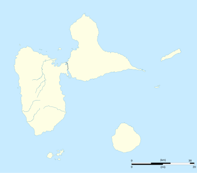
| 图像 | Guadeloupe department location map.svg | |||

| ||||
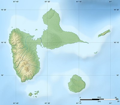
| 附加图像㈠ | Guadeloupe department relief location map.jpg | |||

| ||||
How to use an alternative map
[编辑]This template normally displays the map shown above as image:
- Guadeloupe department location map.svg.
The AlternativeMap parameter in Template:Location map can be used to display the following image:
- Guadeloupe department relief location map.jpg
Further instructions and examples can be found at Template:Location map#Using Alternative Map.
