汤普金斯广场公园
外观
| 汤普金斯广场公园 | |
|---|---|
 | |
| 基本資料 | |
| 類型 | 公園 |
| 位置 | 纽约市曼哈顿字母城 |
| 坐标 | 40°43′35″N 73°58′54″W / 40.72639°N 73.98167°W |
| 面積 | 10.5英畝(4.2公頃) |
| 紐約市公園和娛樂部 | |
| 地圖 | |
 | |
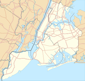
汤普金斯广场公园(Tompkins Square Park)是美国纽约市的一个公园,面积10.5-英畝(4.2-公頃),位于曼哈顿东村字母城。这是一个方形的公园,北到东10街,东到B大道,南面是东7街,西到A大道。
历史
[编辑]
19世纪
[编辑]汤普金斯广场公园距离东河不远,最初是一片沼泽地,后来被填平。1834年开辟为广场,1850年公园开放[1]。汤普金斯广场公园得名于美国副总统丹尼尔·D·汤普金斯(1817-1825)。
20世纪
[编辑]到了20世纪80年代,汤普金斯广场公园成为纽约社会问题的代名词。当时的公园是一个高犯罪率的地区,无家可归者者的帐篷,也是非法毒品交易和海洛因使用的中心。
40°43′33.9″N 73°58′54.8″W / 40.726083°N 73.981889°W[2]]]
参考
[编辑]- ^ Strausbaugh, John. Paths of Resistance in the East Village. The New York Times. 2007-09-14 [2008-08-25]. (原始内容存档于2021-03-29).
- ^ Hare Krishna Tree. [2018-05-23]. (原始内容存档于2018-11-16). on WikiMapia
- Paul DeRienzo. Tompkins Square Park, the 'Police Riot' Tape Timeline. August 6, 1988 [2018-05-23]. (原始内容存档于2005-12-18). An archive of the radio station WBAI.
- Stranger to the System: Life Portraits of a New York City Homeless Community. Curbside Media. [2018-05-23]. (原始内容存档于2016-03-03). A documentary chronicling the lives of twenty people living in Tompkins Square.
- Tompkins Square Park information (页面存档备份,存于互联网档案馆) at the New York City Department of Parks and Recreation


