
塔弯博格多

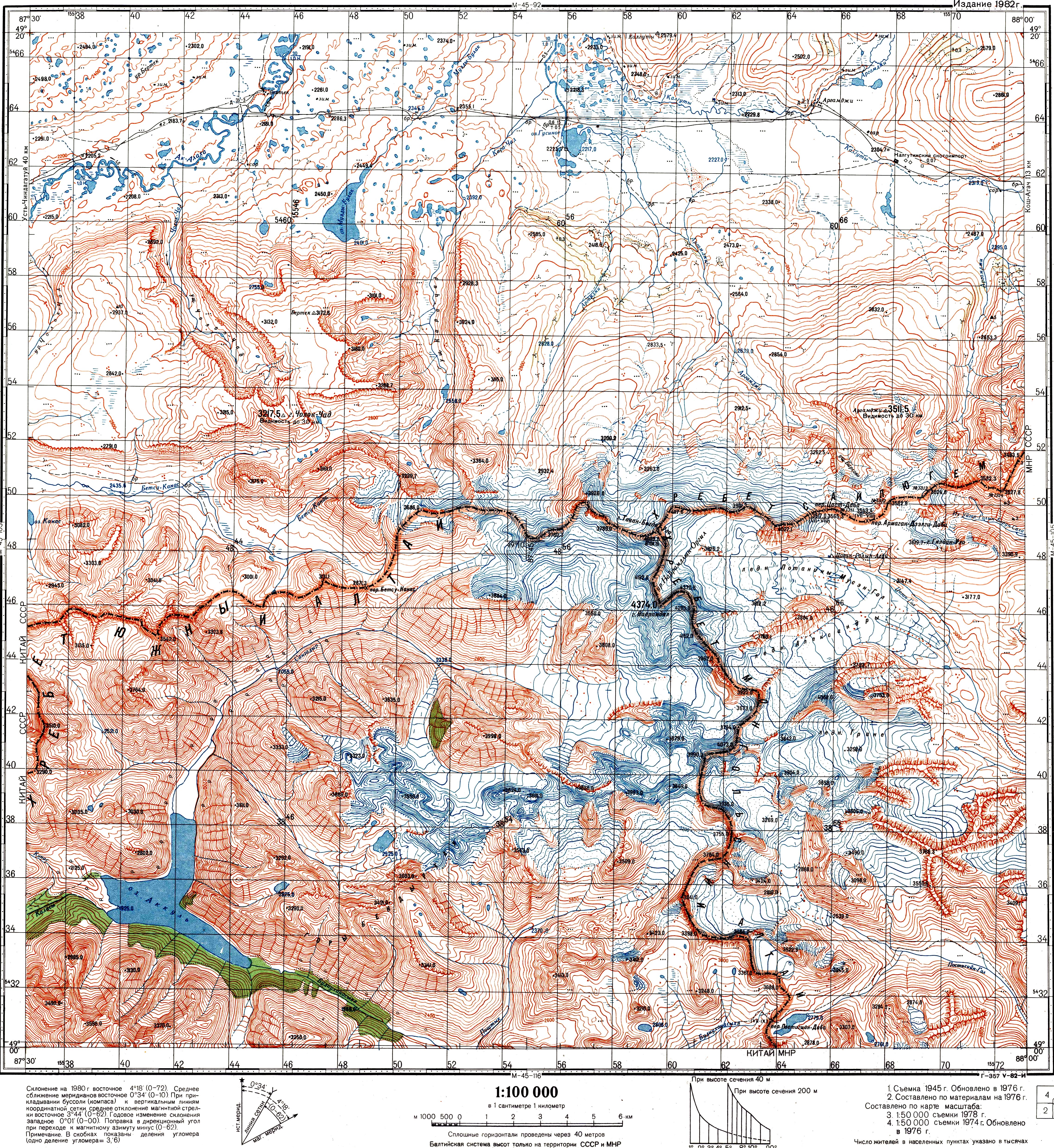
塔弯博格多 (蒙古语:Таван богд,“五圣”的意思)是蒙古国的一座山岭,是阿尔泰山脉的一部分。最高点友谊峰海拔4,374米,是蒙古国的最高峰。而奎屯峰是蒙古、中国和俄罗斯三国的交汇点,海拔4104m,坐标位于49°10′13.5″N 87°48′56.3″E / 49.170417°N 87.815639°E[1][2][3]。蒙古国政府在这里设立了阿尔泰塔弯博格多国家公园。
参考资料
[编辑]- ^ [1] (页面存档备份,存于互联网档案馆) (Protocol between the Government of the Russian Federation, the Government of Mongolia, and the Government of the People's Republic of China, describing the western junction point of the borders of the three states. Signed in Beijing, June 24, 1996) (俄文)
- ^ [2] (页面存档备份,存于互联网档案馆) (The Agreement between the Government of the Russian Federation, the Government of the People's Republic of China, and the Government of Mongolia on the determination of the points of junction of the national borders of the three states) (俄文)
- ^ Soviet Topo map M45-104 (页面存档备份,存于互联网档案馆), scale 1:100,000, (俄文)