
File:Nepal adm location map.svg

原始檔案 (SVG 檔案,表面大小:1,100 × 721 像素,檔案大小:403 KB)
摘要
| 描述 |
Deutsch: Positionskarte von Nepal
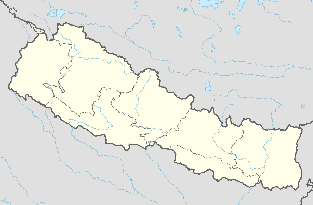
English: Location map of Nepal including the 7 provinces
|
||||||||||||
| 日期 | |||||||||||||
| 來源 |
個人作品,使用:
|
||||||||||||
| 作者 | NordNordWest | ||||||||||||
| 其他版本 |
|
||||||||||||


|
|
授權條款
Usage of this file with:

explanatory notes: Legally binding is only the full legalcode. For a free usage I recommend to respect the following licence conditions:
1. Provide my name as given above: NordNordWest,
2. a copy of, or the URI for, the applicable license: https://creativecommons.org/licenses/by-sa/3.0/de/legalcode,
3. the title of the work,
4. in the case of an adaptation, a credit identifying the use of the work in the adaptation.
This license and the rights granted hereunder will terminate automatically upon any breach by you of the terms of this license. Any of the above conditions can be waived if you get permission from the copyright holder. If you have questions or wish differing conditions, please contact me through nnwest or my discussion page ![]() t-online.de
t-online.de
- 您可以自由:
- 分享 – 複製、發佈和傳播本作品
- 重新修改 – 創作演繹作品
- 惟需遵照下列條件:
- 姓名標示 – 您必須指名出正確的製作者,和提供授權條款的連結,以及表示是否有對內容上做出變更。您可以用任何合理的方式來行動,但不得以任何方式表明授權條款是對您許可或是由您所使用。
- 相同方式分享 – 如果您利用本素材進行再混合、轉換或創作,您必須基於如同原先的相同或兼容的條款,來分布您的貢獻成品。

檔案歷史
點選日期/時間以檢視該時間的檔案版本。
| 日期/時間 | 縮圖 | 尺寸 | 使用者 | 備註 | |
|---|---|---|---|---|---|
| 目前 | 2020年6月2日 (二) 17:59 | | 1,100 × 721(403 KB) | NordNordWest | corr |
| 2020年3月22日 (日) 17:13 |  | 1,100 × 721(401 KB) | NordNordWest | corr | |
| 2019年11月20日 (三) 16:50 |  | 1,100 × 721(398 KB) | NordNordWest | corr | |
| 2018年6月2日 (六) 21:07 |  | 1,100 × 721(399 KB) | NordNordWest | == {{int:filedesc}} == {{Information |description= {{de|1=Positionskarte von Nepal}} {{en|1=Location map of Nepal}} {{Location map series N |stretching=114 |top=31.0 |bottom=26.0 |left=79.8 |right=88.5 }} |source={{Own using}} * United States National Imagery and Mapping Agency data |date=2018-06-02 |author={{U|NordNordWest}} |permission= |other_versions= }} {{Kartenwerkstatt}} == {{int:license-header}} == {{User:NordNordWest/LicenceMap}} Category:Location maps of Asia (series N) [[Cate... |
檔案用途
下列59個頁面有用到此檔案:
- 1984年南亞運動會
- 2012年亞足聯挑戰盃
- 2019年南亚运动会
- 丁伯崎
- 丹增-希拉里機場
- 久姆拉
- 佛祖機場
- 加德满都王宫广场
- 加德满都谷地
- 南崎巴札
- 博卡拉
- 卡萊亞
- 卡馬拉邁
- 卢克拉
- 塔托帕尼乡 (巴格马蒂专区)
- 塔拉航空193号班机空难
- 墎其爾
- 多列
- 奇特旺国家公园
- 孟鳩
- 尼泊爾世界遺產名錄
- 巴克塔普尔王宫广场
- 巴格隆
- 帕坦王宫广场
- 帕舒帕蒂纳特庙
- 拉利特普尔 (尼泊尔)
- 斯瓦扬布纳特
- 旁波切
- 昆瓊
- 昌古·纳拉扬庙
- 普塔利巴扎爾
- 朱孔
- 比拉德訥格爾
- 法克定
- 湯坡崎
- 满愿塔
- 特兰
- 特里布万国际机场
- 科达里
- 羅布崎
- 萨加玛塔国家公园
- 藍毗尼
- 貝西薩哈
- 达布莱宗机场
- 迪帕亚尔锡尔格里
- 錫陀塔那迦
- 馬切莫
- 馬南 (尼泊爾)
- 馬南機場
- 马亨德拉讷格尔
- 高樂雪
- 默倫瓜
- User:SheltonMartin/沙盒26
- Template:Infobox mountain/testcases
- Template:Location map
- Template:Location map/doc
- Template:Location map/sandbox
- Template:Location map Nepal
- Template:尼泊爾世界遺產
全域檔案使用狀況
以下其他 wiki 使用了這個檔案:
- ab.wikipedia.org 的使用狀況
- af.wikipedia.org 的使用狀況
- an.wikipedia.org 的使用狀況
- azb.wikipedia.org 的使用狀況
- az.wikipedia.org 的使用狀況
- ban.wikipedia.org 的使用狀況
- bcl.wikipedia.org 的使用狀況
- be.wikipedia.org 的使用狀況
- bg.wikipedia.org 的使用狀況
- bh.wikipedia.org 的使用狀況
檢視此檔案的更多全域使用狀況。