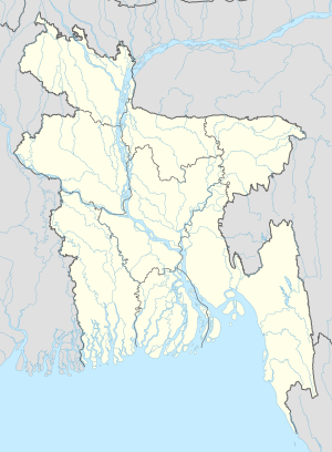
达乌拉特普尔 (马尼格甘杰县)
外观
| 达乌拉特普尔 | |
|---|---|
| 坐标:23°56′N 89°49′E / 23.933°N 89.817°E | |
| 國家 | 孟加拉 |
| 專區 | 巴里薩爾專區 |
| 縣 | 马尼格甘杰县 |
| 时区 | 孟加拉国标准时间(UTC+6) |
达乌拉特普尔(孟加拉語:দৌলতপুর),是孟加拉国达乌拉特普尔乌帕齐拉的一个城鎮[1]。1989年,当地受到达乌拉特普尔-萨图利亚龙卷风袭击死伤巨大[2][3]。
参考
[编辑]- ^ NGA GeoName Database. 美國國家地理空間情報局. [2008-07-14]. (原始内容存档于2008-06-08).
- ^ Edwards, Rodger. Tornado FAQ. 美国国家海洋和大气管理局. [2008-08-23]. (原始内容存档于2012-03-19).
- ^ Cerveny, Randy. Freaks of the Storm: From Flying Cows to Stealing Thunder: The World's Strangest True Weather Stories. Thunder's Mouth Press. 2005. ISBN 1-56025-801-2.

