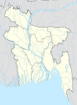
沙普里岛
外观
| 沙普里岛 | |
|---|---|
শাহপরী দ্বীপ | |
| 自然地理 | |
| 坐标 | 20°46′03″N 92°20′02″E / 20.7674°N 92.3340°E |
| 所处海域 | 纳夫河河口 |
| 管辖 | |
| 专区 | 吉大港专区 |
| 县 | 科克斯巴扎尔县 |
| 乌帕齐拉 | 代格纳夫乌帕齐拉 |
| 其他资料 | |
| 时区 | |
沙普里岛(孟加拉语:শাহপরী দ্বীপ Sahapari Dwip、缅甸语:ရှင္မျဖဴကၽြန္း、英语:Shapuree、Shahpori、Shah Parir[1]、Shapura[2]、Shalpuri、Shinmabyu Island)是孟加拉国的一座岛屿,位于孟加拉与缅甸的界河纳夫河的河口,行政区划属于吉大港专区科克斯巴扎尔县代格纳夫乌帕齐拉,为其半岛的延伸[1]。1823年,英国以缅甸占据沙普里岛为战争借口对其开战,发动第一次英缅战争[3],并占领了该岛[4]。
沙普里岛是从缅甸乘船而来的罗兴亚难民进入孟加拉的上岸地点之一[5][6]。
参考资料
[编辑]- ^ 1.0 1.1 Mainuddin, Md. Teknaf Upazila. Islam, Sirajul; Jamal, Ahmed A. (编). Banglapedia: National Encyclopedia of Bangladesh Second. Asiatic Society of Bangladesh. 2012 [2018-11-16]. (原始内容存档于2018-09-26).
- ^ Tucker, S.C., A Global Chronology of Conflict: From the Ancient World to the Modern Middle East [6 volumes]: From the Ancient World to the Modern Middle East, ABC-CLIO: 1142, 2009 [2018-11-16], ISBN 9781851096725, (原始内容存档于2018-10-04)
- ^ The First Burmese War 1824-1826. Somerset Archives and Local Studies. Somerset County Council. [2018-11-16]. (原始内容存档于2016-02-17).
- ^ Dorothy Woodman. The Making of Burma 1. London: The Cresset Press. 1962: 60.
- ^ Dwaipayan Barua. Border guards push back 500. The Daily Star. 12 June 2012.
- ^ Bangladesh pushes back 31 Myanmar citizens. Narinjara News. 2017-08-21 [2018-11-16]. (原始内容存档于2018-04-07).

