傑遜灣
外觀
| 傑遜灣 Teluk Mahkota | |
|---|---|
| 坐標:1°53′N 104°08′E / 1.883°N 104.133°E | |
| 國家 | |
| 州屬 | |
| 縣 | |
| 時區 | 馬來西亞標準時間(UTC+8) |
| 郵政編碼 | 81900[1] |
| 電話區號 | +6-07 |
| 車牌編碼 | J |
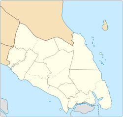
傑遜灣(馬來語:Teluk Mahkota)是馬來西亞柔佛州哥打丁宜縣素里里的一處海灣及旅遊熱點[2]。傑遜灣面向南海,長達12公里,距離哥打丁宜約28公里。
名稱由來
[編輯]殖民地時期,此處被稱為傑遜灣(Jason's Bay) 獨立後改為Teluk Mahkota (意指皇冠灣)。
參考資料
[編輯]- ^ Tanjung Sedili, Kota Tinggi - Postcode - 81900. [2024-01-26]. (原始內容存檔於2015-06-01).
- ^ Webs ite of the official tourism portal of the Ministry of Tourism, Malaysia, http://www.virtualmalaysia.com/des (頁面存檔備份,存於網際網路檔案館) tination/Teluk%20Mahkota%20Beach.html; https://maps.google.com/ (頁面存檔備份,存於網際網路檔案館); State and Towns Map of Johor, published by World Express Mapping Sdn. Bhd. which states that it is itself reproduced by permission of the Director of National Mapping Malaysia.


